Rexline Metocean and Environmental Survey Services
Comprehensive Metocean and Environmental Solutions
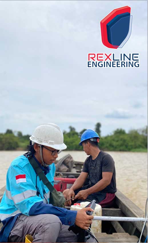
Rexline provides specialized Metocean and Environmental survey services for rivers and seas, essential for investigations related to oil and gas exploration, offshore construction, and dredging activities. Our comprehensive studies involve the collection of water samples and the assessment of current and long-term weather conditions, tides, and underwater noise levels.
Our Services
Rexline’s Metocean and Environmental survey services include a wide range of measurements & assessments, such as:
Survey Parameters
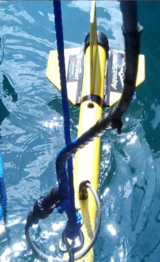
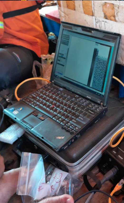
Bathymetry Survey :
- Utilizing both Multibeam and Single Beam Echo Sounders to map underwater topography and depth.
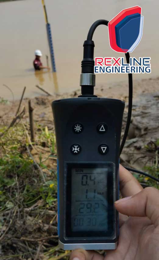
Metocean Measurements :
- Tide Gauge : Monitoring tidal
- Current Measurements : Assessing water currents for navigation & environmental impact.
- Wave Analysis : Evaluating wave patterns and their implications for coastal and offshore projects.
- Climate Data : Collecting long-term weather data to inform project planning.
Sediment Coring :
- Seabed Analysis : Extracting sediment samples to study the composition and characteristics of the seabed.
Geophysical Surveys :
- Analog Geophysical Survey with Sub-bottom Profiler : Investigating subsurface geological features.
- Side Scan Sonar : Mapping the seafloor and identifying underwater
- Magnetometer Surveys : Detecting magnetic anomalies to locate submerged objects or geological features.
Marine Ecology Survey :
- Assessing marine life, including biota, fisheries, coral reefs, and artificial reefs to understand ecological impacts.
Reclamation and Dredging Design :
- Ocean Modelling : Designing reclamation and dredging projects based on hydrodynamic modeling.
- Supervision of Dredging and Reclamation : Providing oversight to ensure compliance with environmental standards and project specifications.